Arriving in La Paz was every bit as hectic as I had imagined it to be. Hopping off our overnight bus, we were immediately accosted by multiple people offering us trips to various other cities. A lot of “no gracias” was said before even getting a cab to our hostel. As we took the cab, I felt as though I had been transported back to Bangkok; people everywhere, horns honking, cars pushing their way in, etc. I think our cab may have actually bumped a person out of the way. Fortunately, he was forced to go slow enough that it wouldn’t have done any damage. We were both relieved when we finally got to our hostel, and after checking in and having breakfast, we settled down for a nap.
 Nestled in a valley in the Andes and the Yungas, La Paz has been said to be South America’s highest and worst capital city. With a population of approximately 1.5 million people, La Paz is busy, loud, and full of hills that leave you panting within mere minutes. We spent our first afternoon in La Paz exploring the downtown area. We wandered through the infamous witches market, where you can see dead llama fetuses and plates of dried feces that are used as offerings to nature, buried under new houses as a source of goodluck. We also wandered down the streets filled with tourist shops, poking our heads in and out in search of the perfect alpaca sweater. Finally, we headed down to Plaza San Francisco to check out the cathedral and the main avenue running through the city. Although the city isn’t really nice, I also didn’t hate it. The vibe is completely different in La Paz, and the streets are packed with people selling everything and anything. We later learned that nearly 65% of the city’s population is unemployed, so many of those people sell items in markets or on the street to make an income.
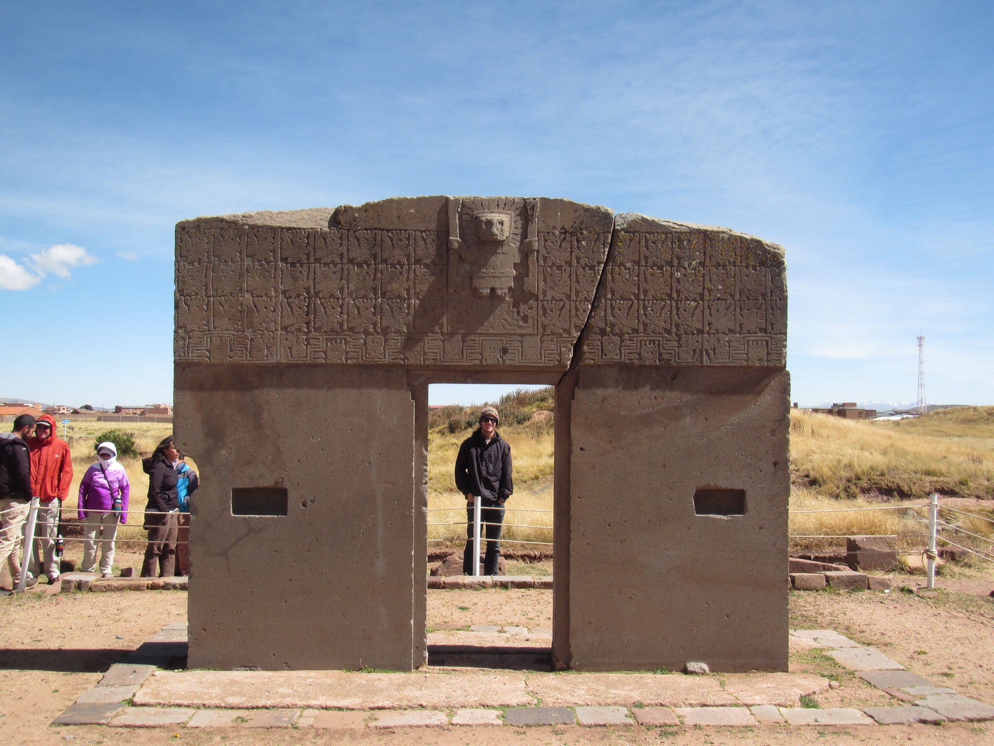
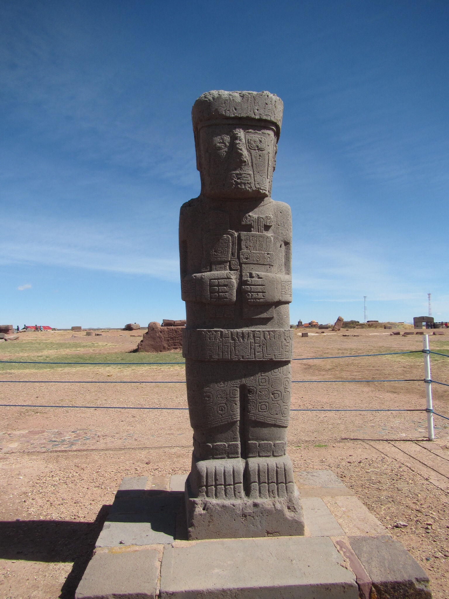 Obviously a trip to Bolivia is not complete without stopping in La Paz; however, Ryan and I didn’t want to spend much time there. We were more interested in the stuff to do outside of La Paz. The first thing that we headed out to do was to see the ruins of Tiwanaku, which is between La Paz and Lake Titicaca, and is known to be Bolivia’s most important ruins. Although the ruins themselves aren’t overly impressive compared to some of the other ruins in the world, they are very interesting because of how little is known about them. It is believed that the ruins are pre-Incan, although the design of the intricate one piece sun gate makes it hard to believe that people of that time constructed something so intricate. Within the confines of the ruins, perfect 90 degree angles can be seen, as well as perfectly symmetrical cuts in rocks. No tools have been found; therefore, they have no idea how they made any of these things. In all honesty, it looks as though the rocks were cut with a laser beam. We also visited the ruins of Puma Punku, where giant slabs of rock have been found, some weighing more than 130 tons in weight. All in all, I enjoyed Tiwanaku quite a bit. It is interesting to ask a guide questions and for them to give answers in which they are solely speculating. Although funding has been suspended for the ruins by the Bolivian government, there are hopes that they will be able to begin funding in the near future. I hope that they do, so that they can begin to answer some of the many unanswered questions about these ruins.
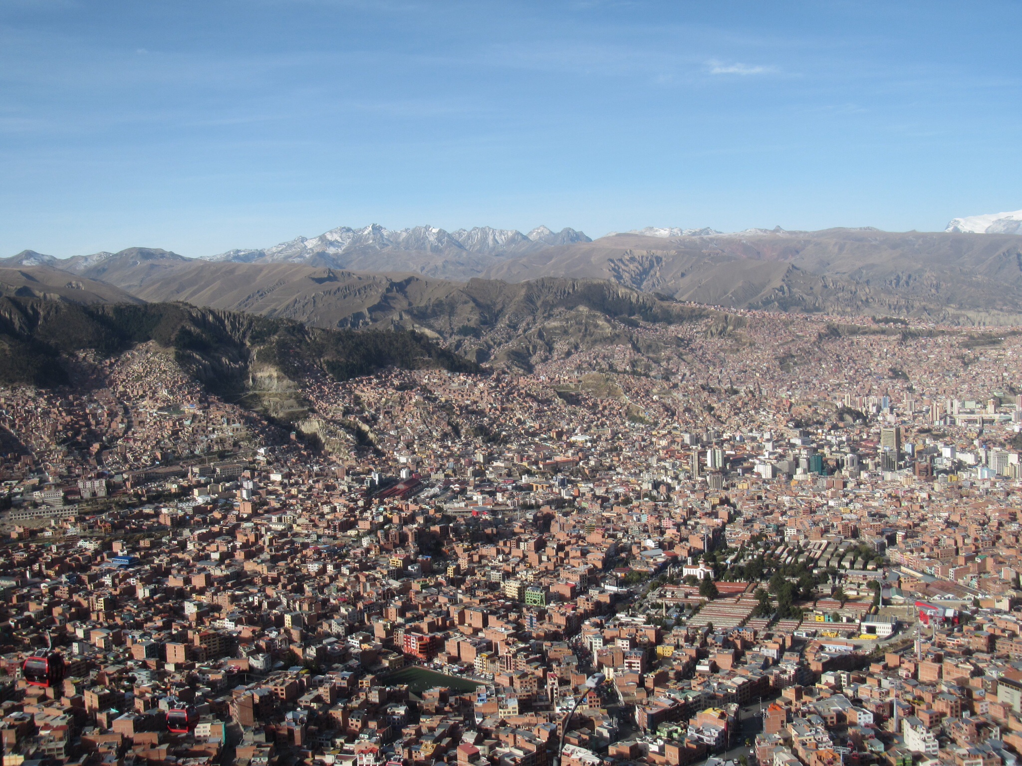 After our visit to the ruins, we stopped for lunch, before heading back to the La Paz. On our way back, we stopped at the top of the valley in El Alto to get a view of the city. I had heard that the city “sparkles” in the sun, and although sparkle wouldn’t be my choice word, the sun reflecting off the buildings is beautiful. The majority of the buildings are made of brick, making the city look like a little Lego city from above. After battling traffic down from El Alto into the city center, we made our way back to our hostel and then headed to find some dinner. Although La Paz has a ton of decent looking and cheap street food, Ryan and I have been sticking to the Lonely Planet or Trip Advisor reviewed restaurants. Unfortunately, even those don’t always work out the best (we should have learned when I was sick in Sucre), and Ryan woke up in the middle of the night with a nasty sickness. We had planned to bike the death road the following day, but after Ryan spent the night sick, we had to get it changed. I spent my morning running around trying to ensure that all was good with our tour and that we weren’t going to lose all of our money. By midday it was finally sorted, and I could relax and enjoy Ryan’s sick day.
We hung out on the patio at our hostel playing chess, and then while Ryan headed to nap, I practiced yoga, and walked around some of La Paz that we hadn’t seen yet. I made my way across Avenida Santa Cruz, and up to the pedestrian street of Jaen. There are quite a few museums there, but because it was Sunday, they were all closed and I was left to enjoy the adorable cobblestone street and coloured houses. From there, I made my way over to Plaza Murillo to look at the Presidential and Legislative Palaces. The square was pleasant, and the palaces were both beautiful buildings. After meeting Ryan for a light dinner, we had an early night in hopes of ensuring we both felt good for our death road biking adventure.
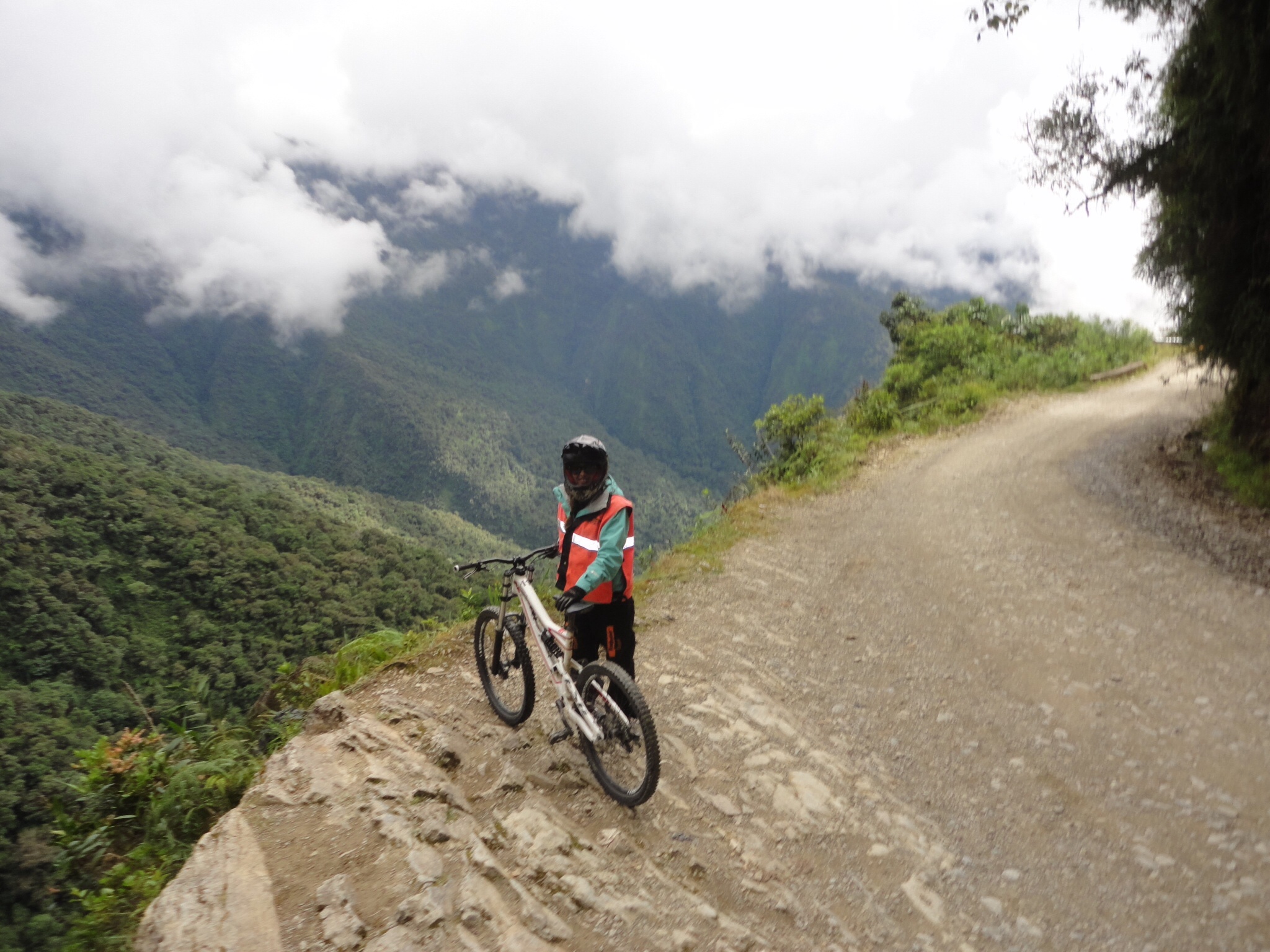 The following morning, Ryan and I both woke up feeling well, and after our early morning pick up, it was clear that we were going to have a beautiful day ahead of us. Biking the death road was something that interested Ryan and I after watching the episode of Top Gear where they drive it. What better way to get a solid dose of adrenaline than to bike the world’s most dangerous road?! In all seriousness, biking the road is not actually that dangerous. The entire ride is downhill, all the companies equip you with good bikes, helmets, gloves, pants, and neon orange vests. On top of that, there is a guide in the front, a guide in the back, and a car following in case of emergency. After getting sized for equipment, we drove about half an hour outside of La Paz, where we hopped on our bikes and made our way on asphalt for just over 20km. Initially I was worried about cars on the road, but as it turned out, we were going faster than them and ended up passing most of them. I’m not going to lie, whipping down the mountain was nothing short of exhilirating! Once we had finished that section of the road, we stopped for a snack, and then hopped in the car to drive the next 8km, which is a dangerous, windy, uphill part where cars are known for driving all over the road. Finally, we turned off the asphalt and began making our way down a gravel road to the start of the death road. Our first glimpses were incredibly intimidating. The valley was filled with fog, yet the allusive cliffside drop was still very clear. From where we began our bike ride, we could see a large chunk of the road across the valley and it certainly looked small and deadly. As we set off to bike the road, my heart was racing. I focused on watching out for big rocks, and not going too fast, although it was definitely easier to just rip down the mountain than to try and brake constantly.
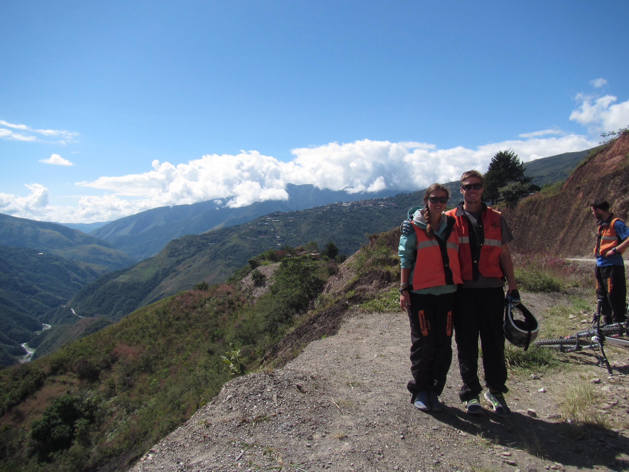 Although it was pretty frightening to look over the side of the cliff (600m down into the valley!), the road wasn’t actually that scary as a biker, as it is much larger than the average mountain biking trail. To me, the frightening part is that this road was used as an actual road until 2006, with 2 way traffic. People drove on the wrong side of the road (left side), so that drivers could keep an eye on the tires that were closest to the edge. One wrong move could be fatal, especially when meeting a large truck head on. As we wound our way down the mountain, we stopped to take photos at some of the most intimidating sections of the road, including Devil’s point, and under a waterfall that soaks a good chunk of the road. As we made our way down, the climate got increasingly warmer, and we were able to strip off some of our layers. Although most of my focus was on the ground ahead of me, I stopped to admire the scenery around me, as the Yungas are some of the most beautiful mountains I have ever seen. They are incredibly lush and rounded, but as large as the Rocky Mountains, towering well into the sky, and meeting in deep valleys with beautiful rivers winding throughout the valleys. The closer we got to Yolca (our final destination), the hotter it got, and the more beautiful it got. By this point, we had been biking for a few hours, and I was used to my bike and the gravel road, and was able to relax enough to enjoy myself, and even challenge myself to go faster.
Reaching Yolca was both rewarding and relieving. We celebrated over a few beers, satisfied that we had satisfied the 65km downhill bike ride on the world’s most dangerous road. From there, we headed via car to the adorable hillside town of Coroico, where we had lunch and hung out by the pool. It was the perfect way to end an exhilarating day. Late in the afternoon, we hopped back in the car and took the new road back to La Paz. Ironically, the new road is still quite small, and in my mind, a little bit dangerous. Ryan and I joked that we couldn’t have our “Death Road Survivor” t-shirts until we were back in La Paz because after the biking, you still have to survive the drive back. After over 3 hours, we arrived back in La Paz, 3,600m higher than we had been at the end of our bike ride, feeling exhausted and a bit dizzy from the altitude. After a quick bite to eat, and a few errands, Ryan and I packed up for our pampas adventure the following day before heading to bed.